Log in
All resources
Create a design
38,207 Free Images of 1860 Maps
maps in the library of congress
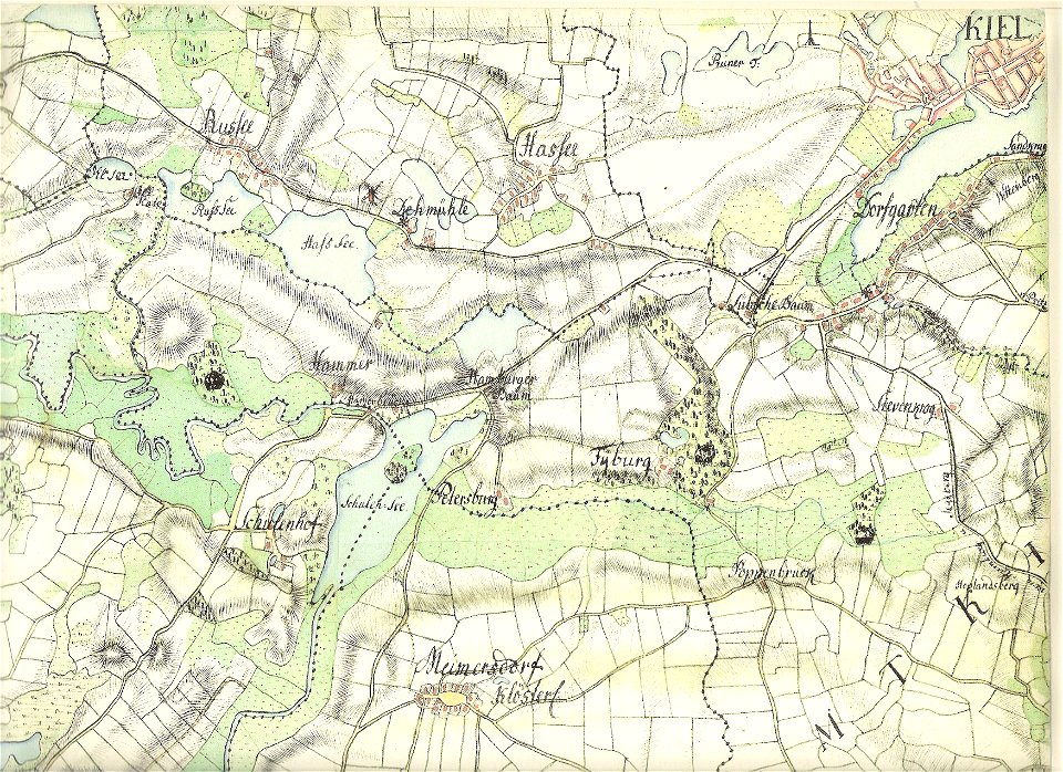
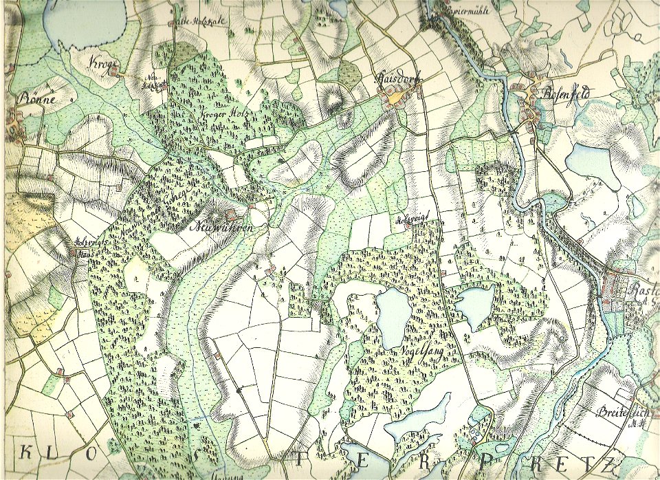
18th-century maps of schleswig-holstein
maps by gustav adolf von varendorf
old maps of kiel
1860 paintings
albert ruger
1860 lithographs
o. h. bailey
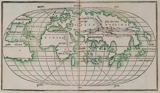
maps by coronelli
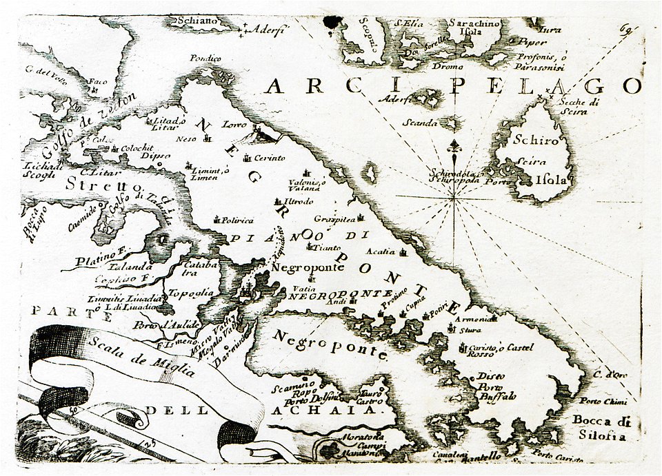
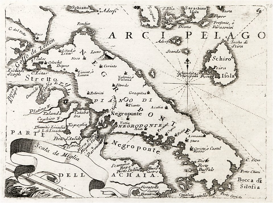
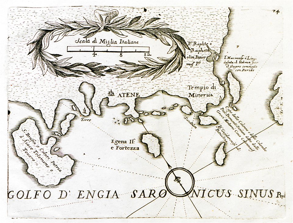
old maps of the peloponnese
old maps of the peloponnese
maps by coronelli
maps in the library of congress
1707 maps
maps in the library of congress
1707 maps
maps in the library of congress
1885 maps
maps in the library of congress
1885 maps
old maps of the peloponnese
maps by coronelli
old maps of the peloponnese
maps by coronelli
images from the new york public library
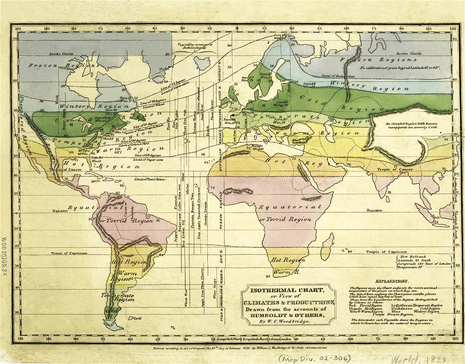
old weather and climate maps
images from the new york public library
old weather and climate maps
paintings of mountains of norway
paintings of trees
savannah
georgia
savannah
georgia
maps by willem and johannes blaeu
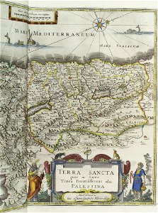
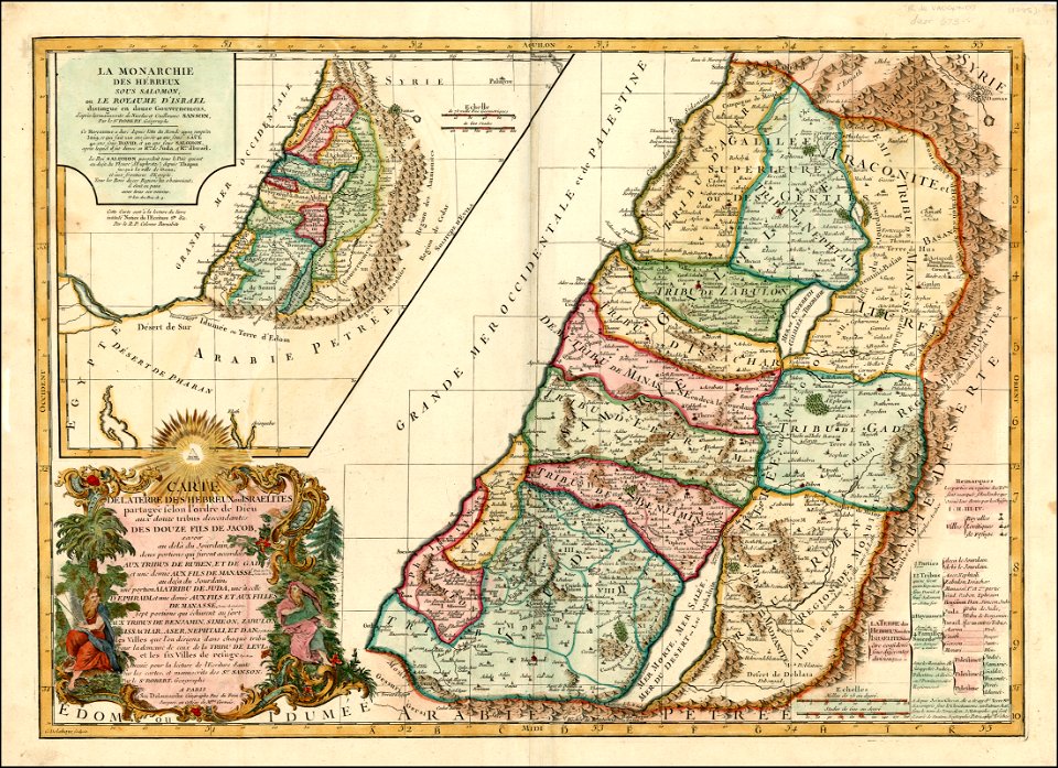
old maps of israel
old maps of nile delta
1821 books
paintings in musée carnavalet
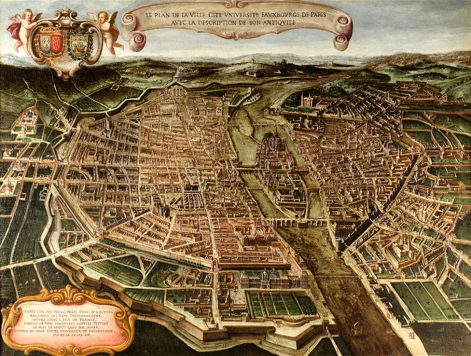
bird's eye view maps of paris
maps in the library of congress
1650 maps
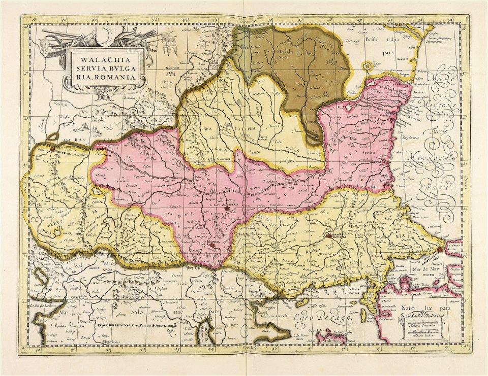
maps of romania
gerard valck
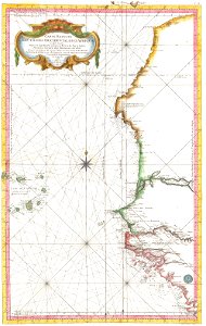
17th-century maps of south america
old maps of panama
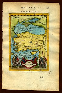
16th-century maps of the mediterranean sea
16th-century maps of the black sea
victor levasseur - maps of the world
frédéric-auguste laguillermie
old manuscript maps
pictorial maps
old maps of guyana
el dorado
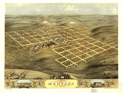
1780 maps of wisconsin
1780 maps of montana
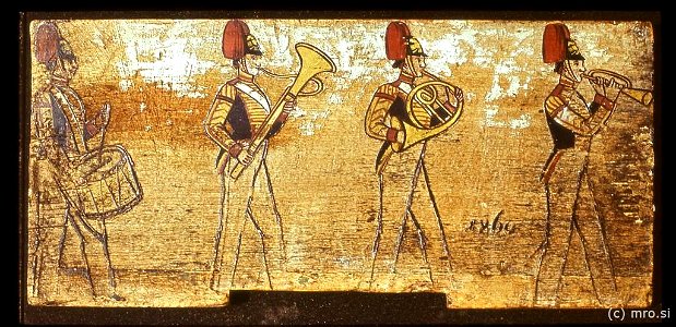
brass band
radovljica
paintings in the ateneum
paint the road
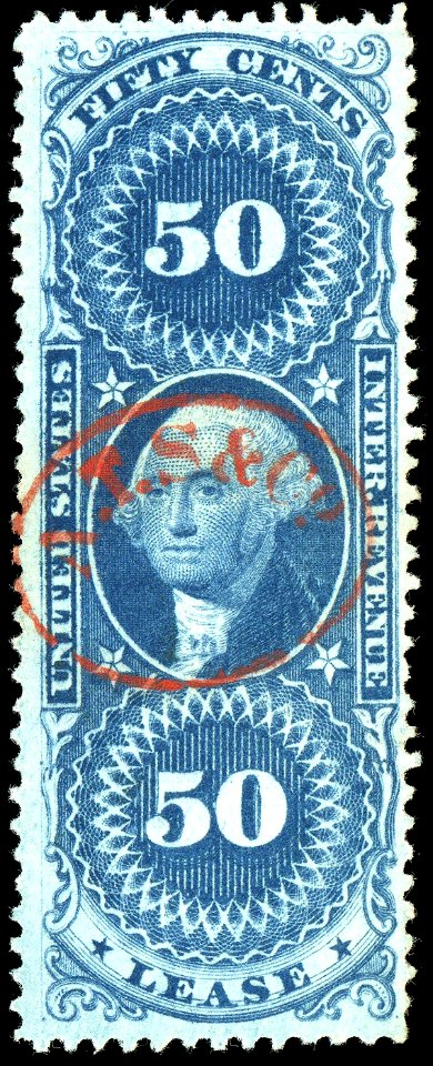
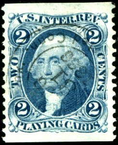
revenue stamps of the u.s. internal revenue service
1862 stamps
revenue stamps of the u.s. internal revenue service
stamps of the united states 1860-1869
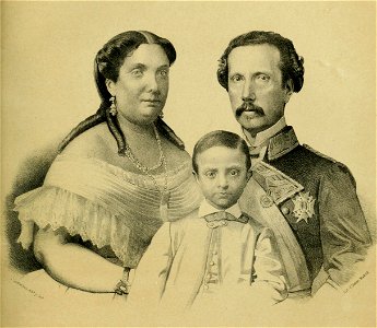
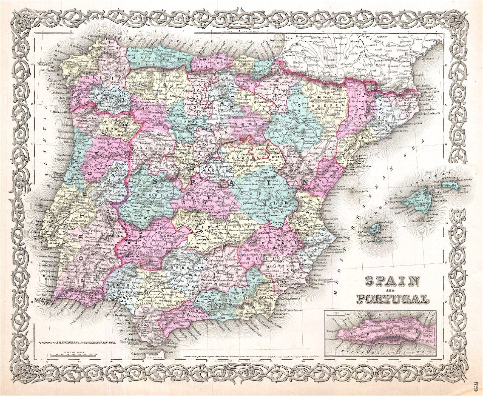
alfonso xii of spain
francis
alfonso xii of spain
francis
antonio gisbert
eusebio zarza
1860 lithographs
d.c.,
1860s landscape paintings
1860 paintings
1860 lithographs
d.c.,
guinevere
lancelot
paintings in the musée des beaux-arts de la ville de paris
1860 paintings
paintings in the musée des beaux-arts de la ville de paris
1860 paintings
paintings in the musée des beaux-arts de la ville de paris
1860 paintings
19th-century landscape paintings of italy
landscape paintings by edward lear
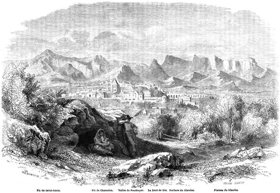
historical images of die (drôme)
volume 2 of le tour du monde
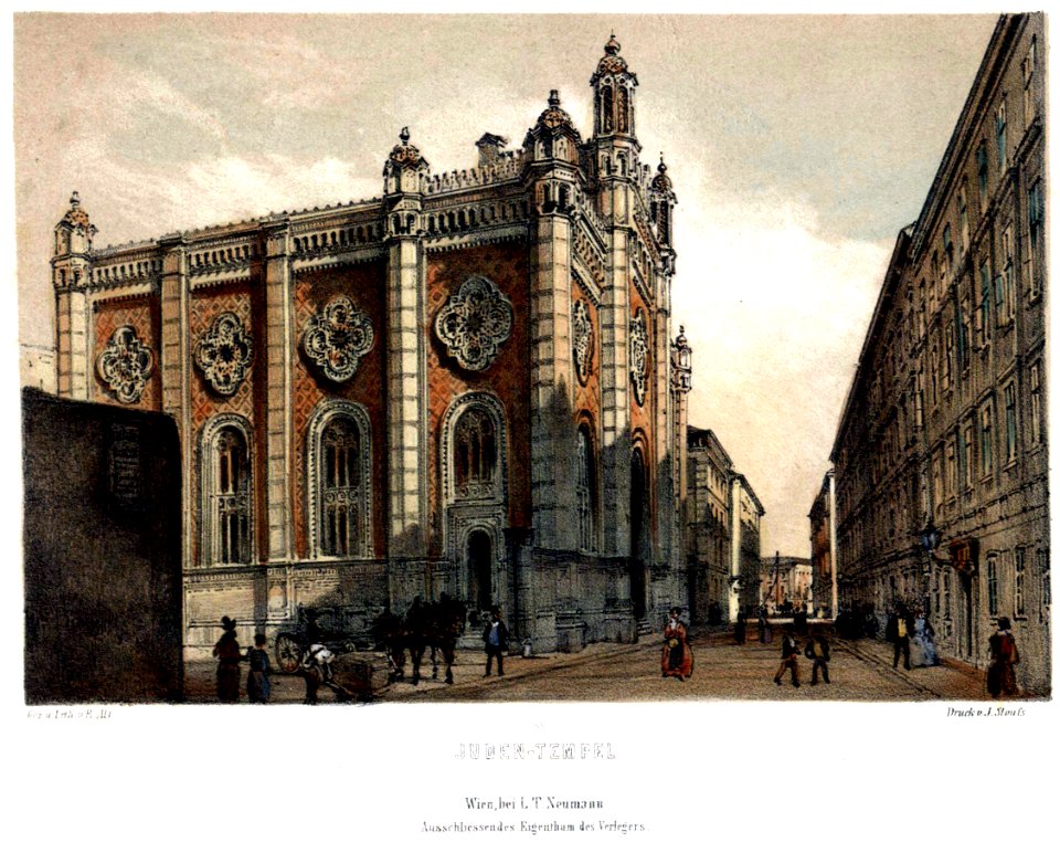
gallery of works by rudolf von alt by data
lithographs of vienna
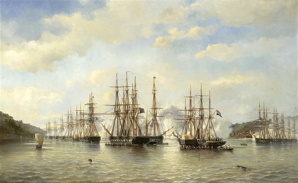
jacob eduard van heemskerck van beest
1864 paintings
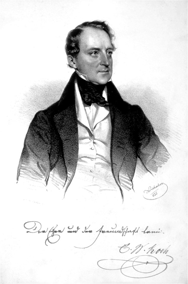
lithographs by josef kriehuber
jewel
the illustrated london news 1860
1859
1860 paintings
heathenism
lithographs by josef kriehuber
male fur clothing in art
paintings by carl spitzweg
1860s landscape paintings
paintings of people in rooms
1860 paintings
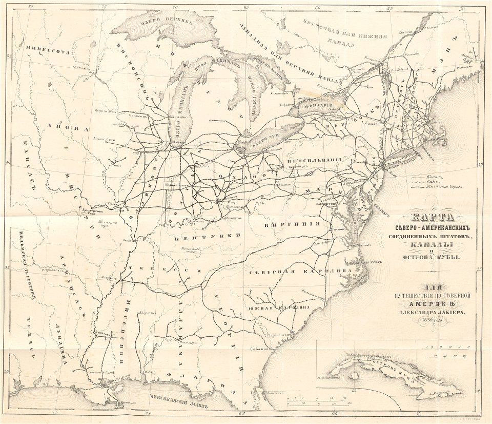
maps showing 19th-century history
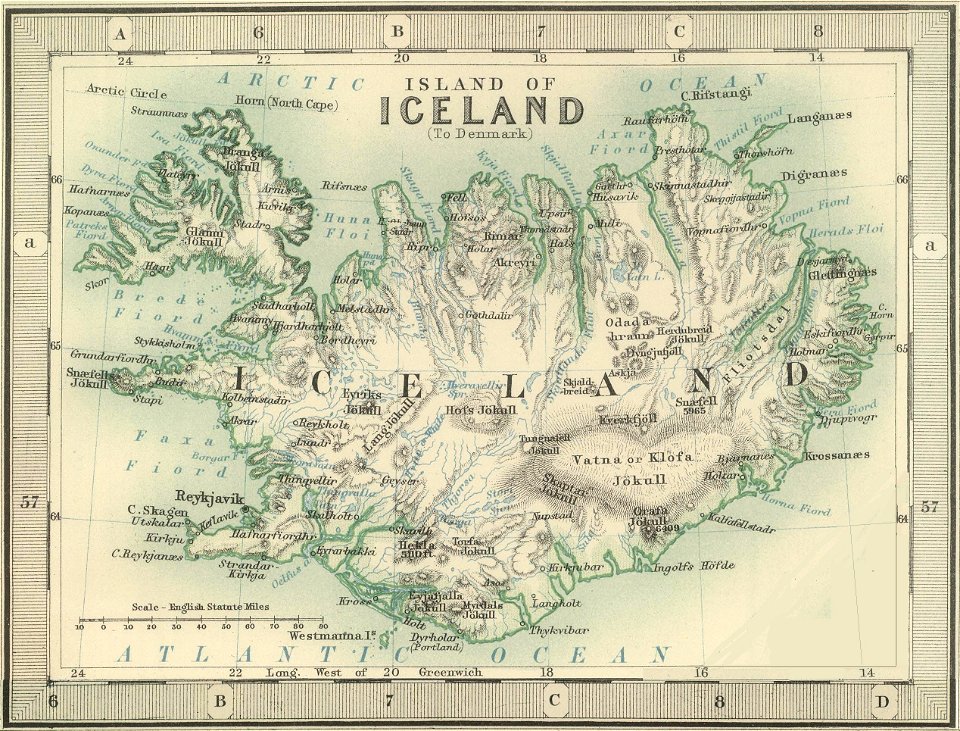
old maps of iceland
maps in the library of congress
1639 maps
arizona
phoenix
maps in the library of congress
iowa
maps by jacques-nicolas bellin
19th-century maps of africa
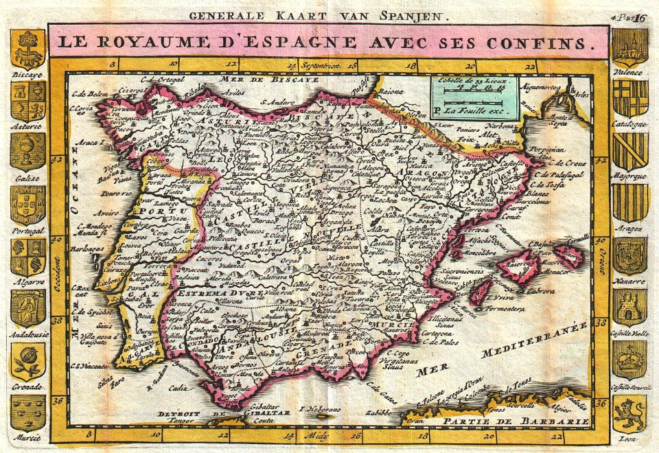
old maps of the iberian peninsula
1850s maps of portugal
old maps of the united states
1859 maps
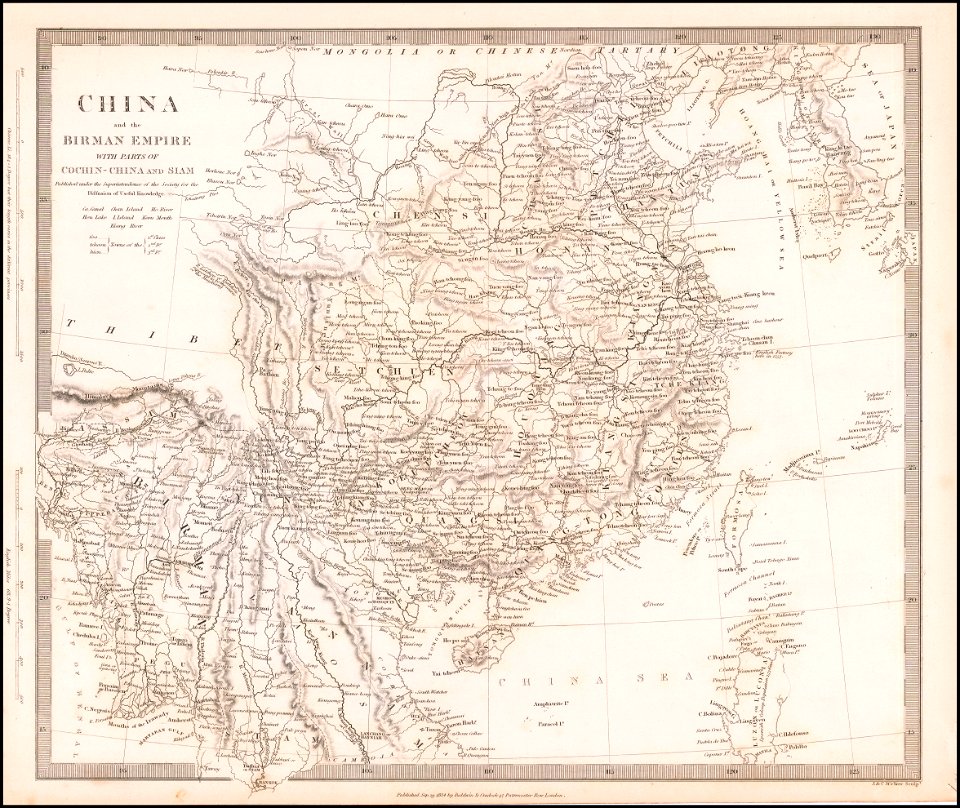
old maps of thailand
old maps of myanmar
maps in the library of congress
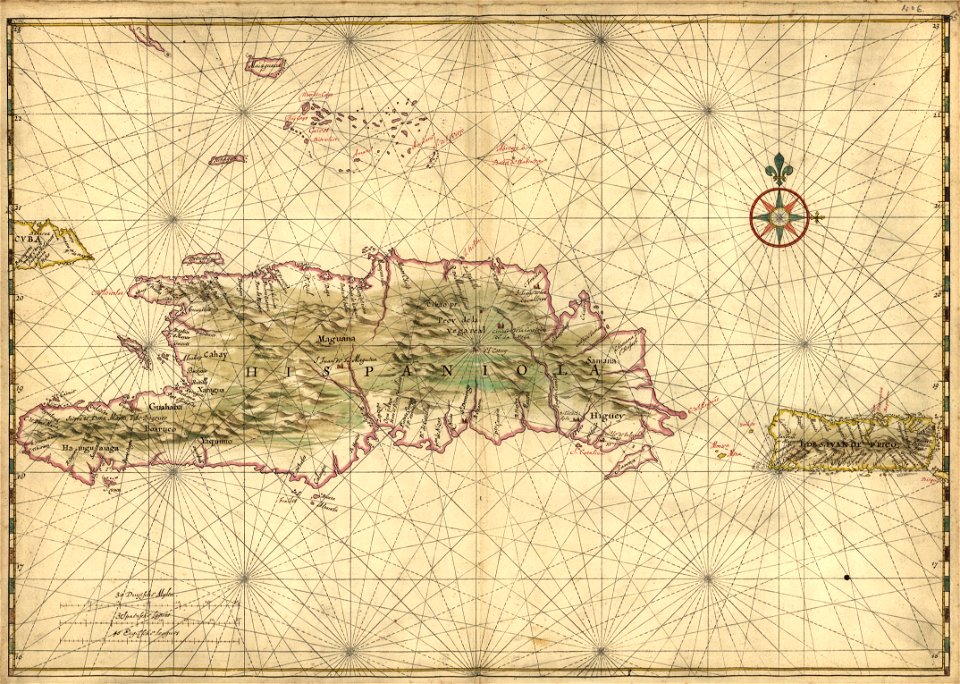
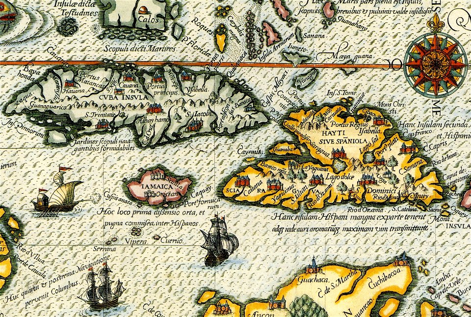
17th-century maps of hispaniola
old maps of the iberian peninsula
johannes ratelband
old maps of switzerland
johannes ratelband
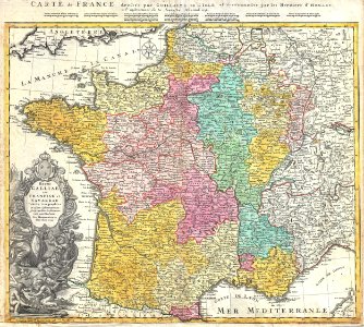
french-language maps
johannes ratelband
administrative history of france
johann baptist homann
16th-century maps of the black sea
coats of arms on maps
charts and maps of the royal museums greenwich
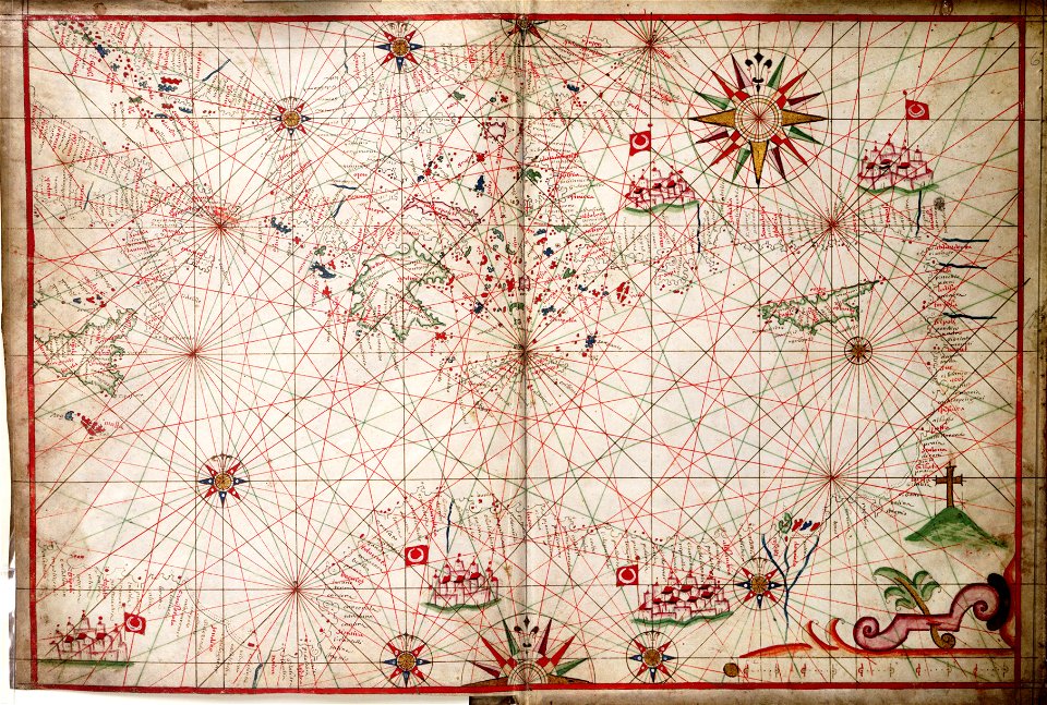
17th-century maps of the mediterranean sea
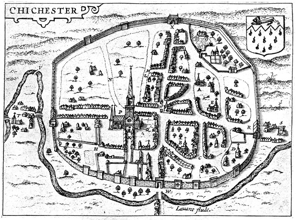
west sussex
chichester
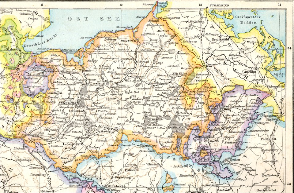
old maps of mecklenburg
1880 maps
charles françois delamarche
old maps of the holy land
johann baptist homann
ships on maps
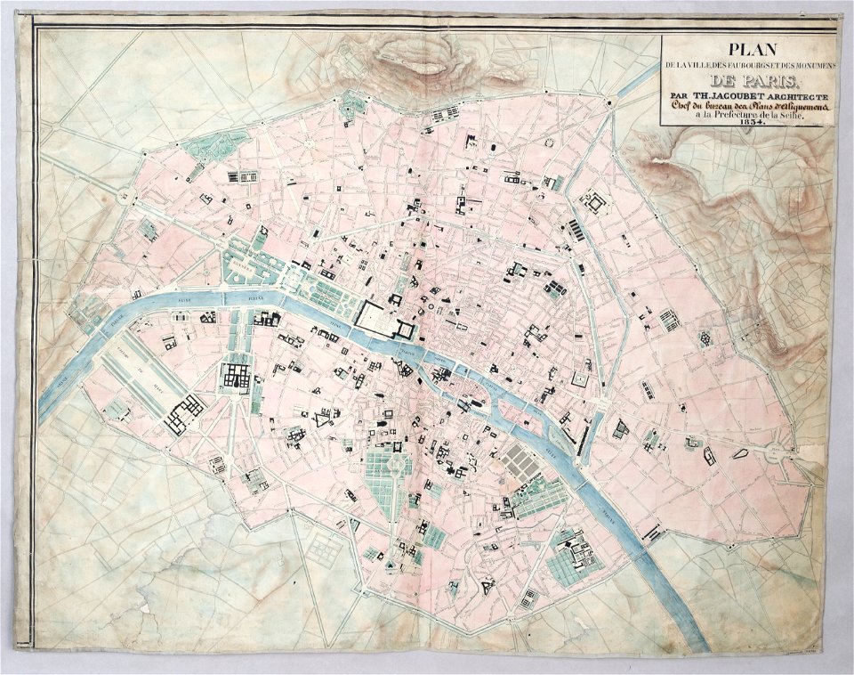
maps of paris from paris musées
1830s maps of paris
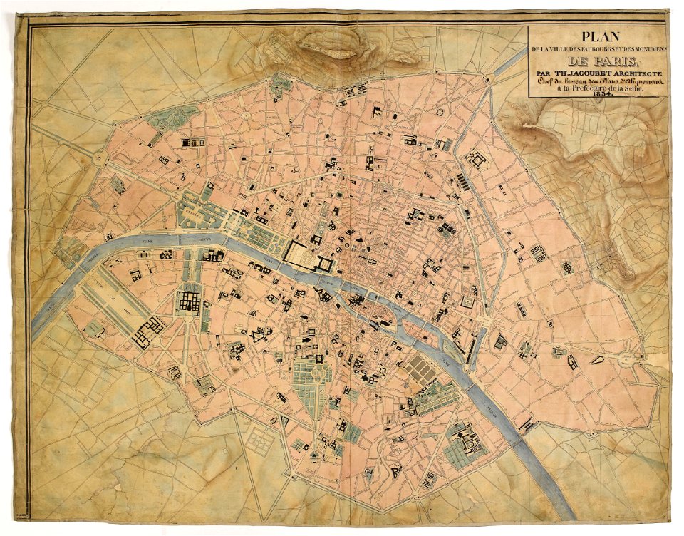
maps of paris from paris musées
1830s maps of paris
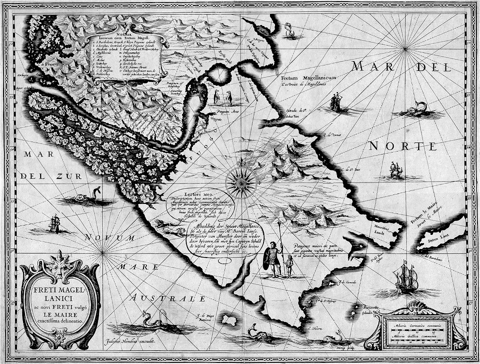
maps by jodocus hondius
1628 maps
christian gottfried heinrich geißler
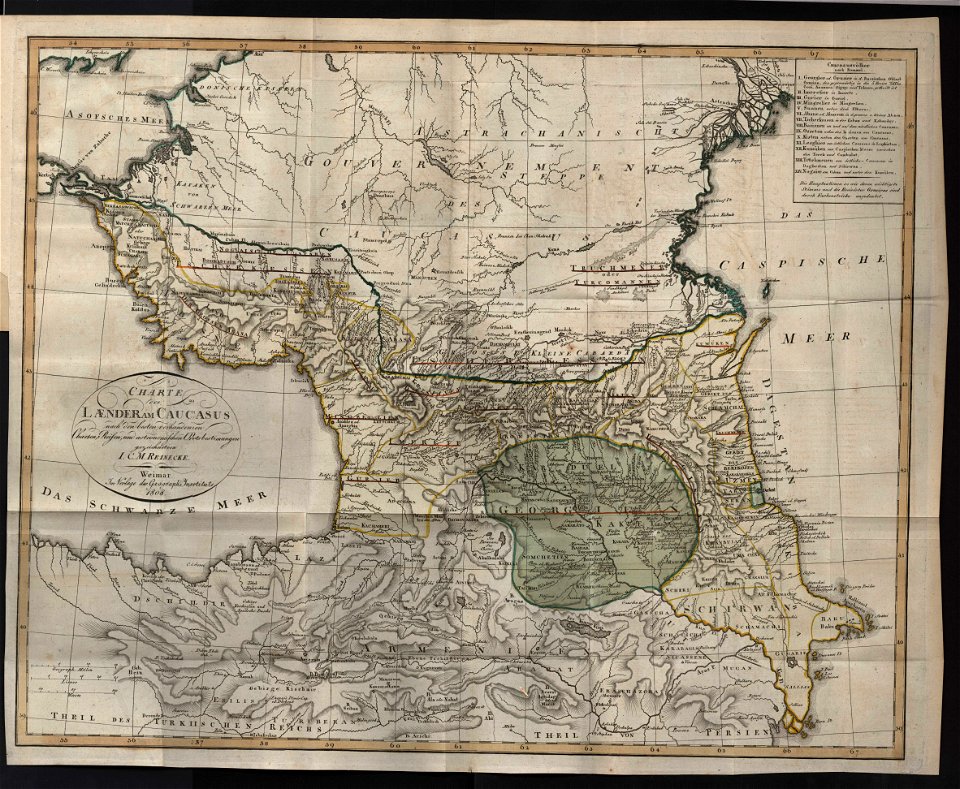
19th-century maps of the caucasus
long island sound
block island
old maps of colombia
theodor de bry
rohatyn
halych
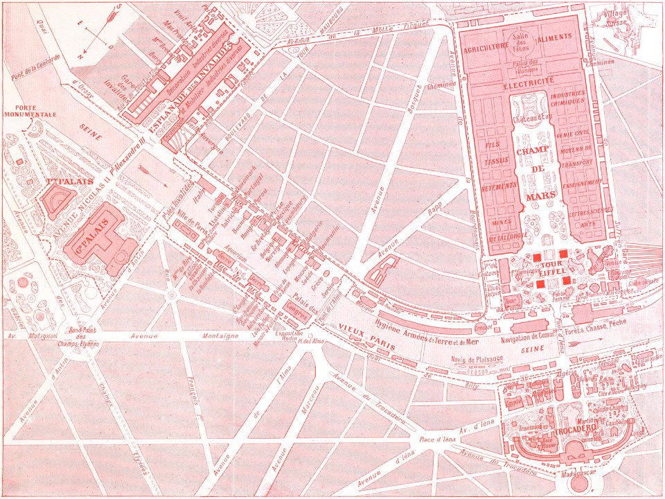
1900s maps of paris
engravings of paris
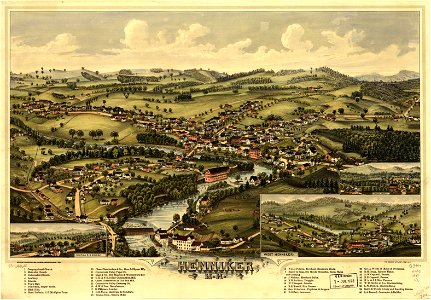
new hampshire
henniker
new hampshire
henniker
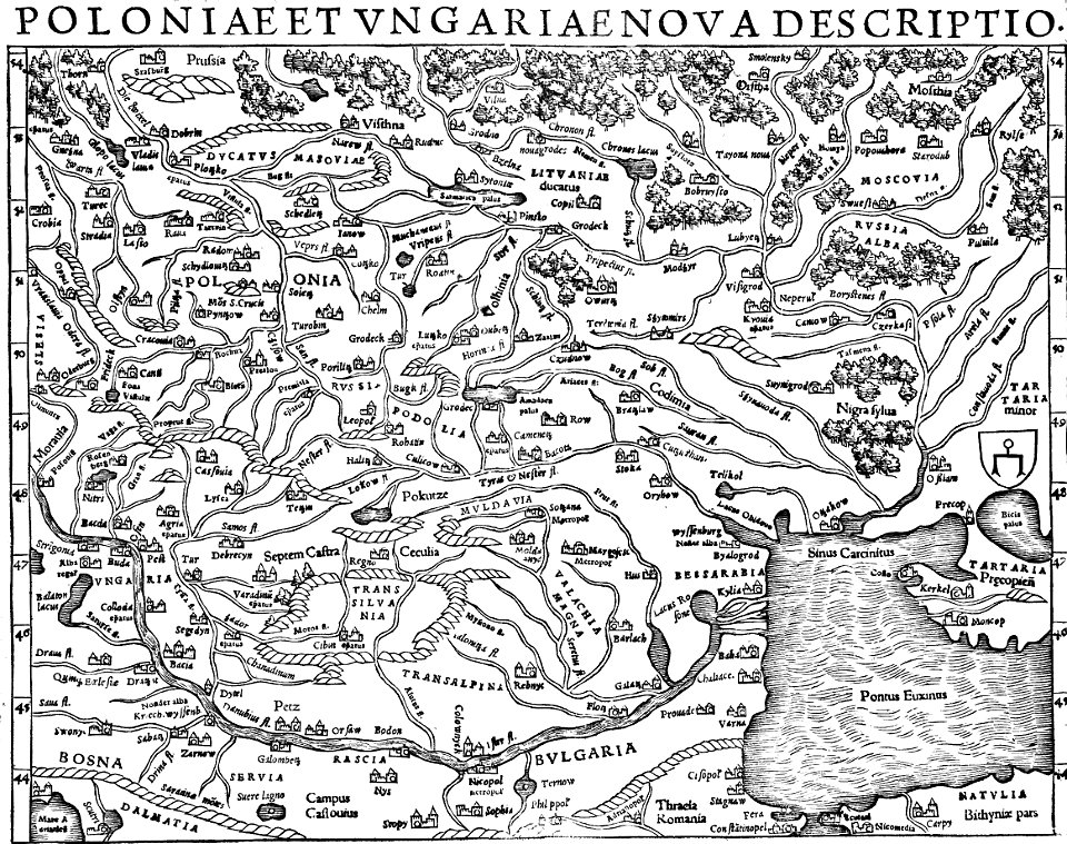
17th-century maps of the black sea
old maps of turkey
maps by frederick de wit
vollenhove
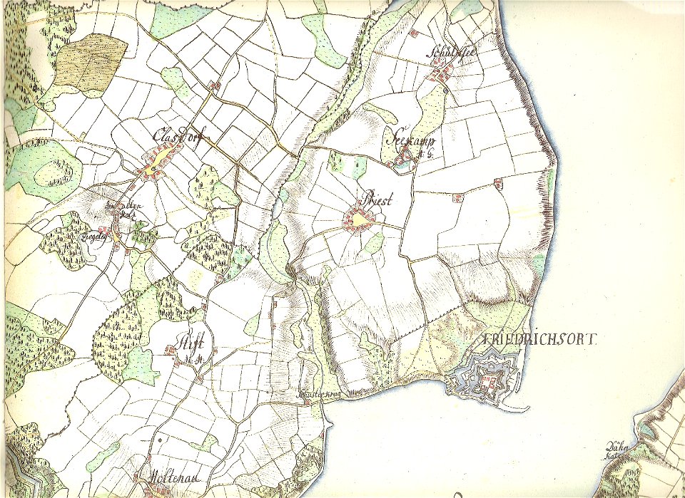
18th-century maps of schleswig-holstein
maps by gustav adolf von varendorf
maps by benedetto bordon
1540s maps of the world
maps in the library of congress
old maps of pennsylvania
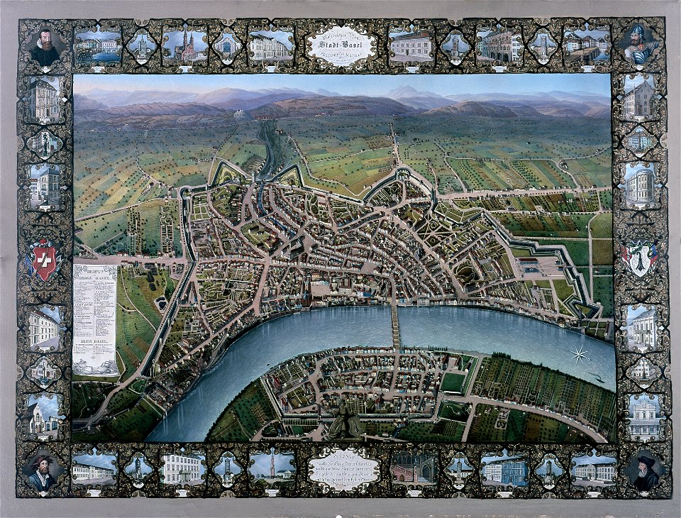
historisches museum basel
maps of basel
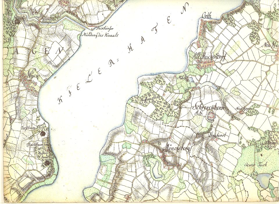
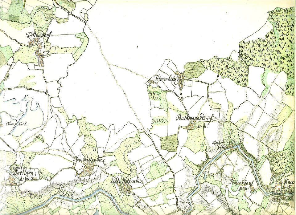
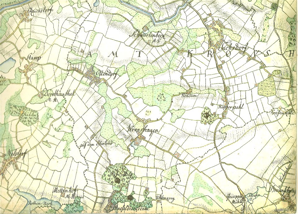
18th-century maps of schleswig-holstein
maps by gustav adolf von varendorf
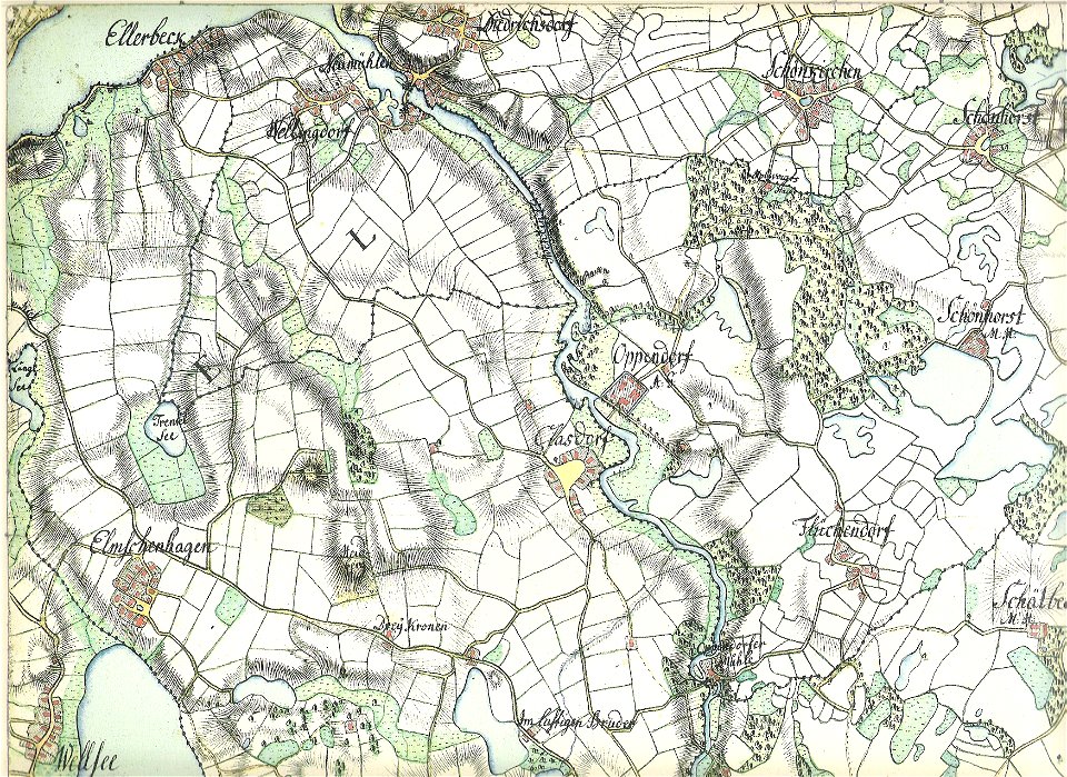
18th-century maps of schleswig-holstein
maps by gustav adolf von varendorf
18th-century maps of schleswig-holstein
maps by gustav adolf von varendorf
18th-century maps of schleswig-holstein
maps by gustav adolf von varendorf
18th-century maps of schleswig-holstein
maps by gustav adolf von varendorf
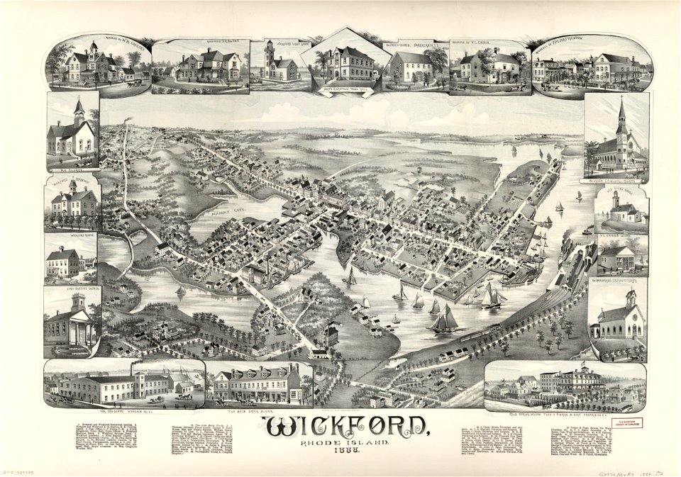
maps in the library of congress
o. h. bailey
maps in the library of congress
o. h. bailey
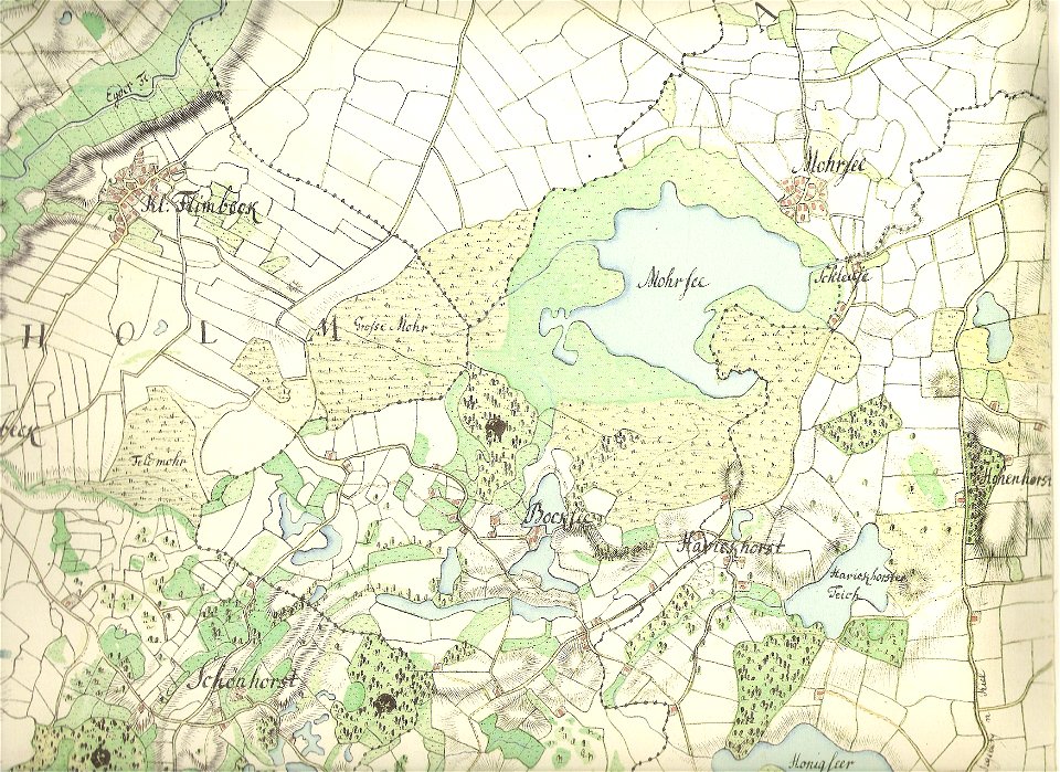
18th-century maps of schleswig-holstein
maps by gustav adolf von varendorf
18th-century maps of schleswig-holstein
maps by gustav adolf von varendorf
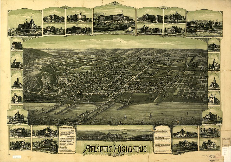
o. h. bailey
1894 maps
o. h. bailey
1894 maps
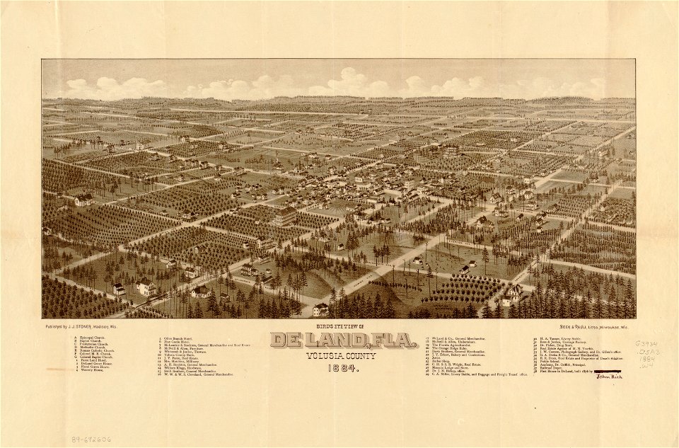
maps in the library of congress
florida
maps in the library of congress
florida
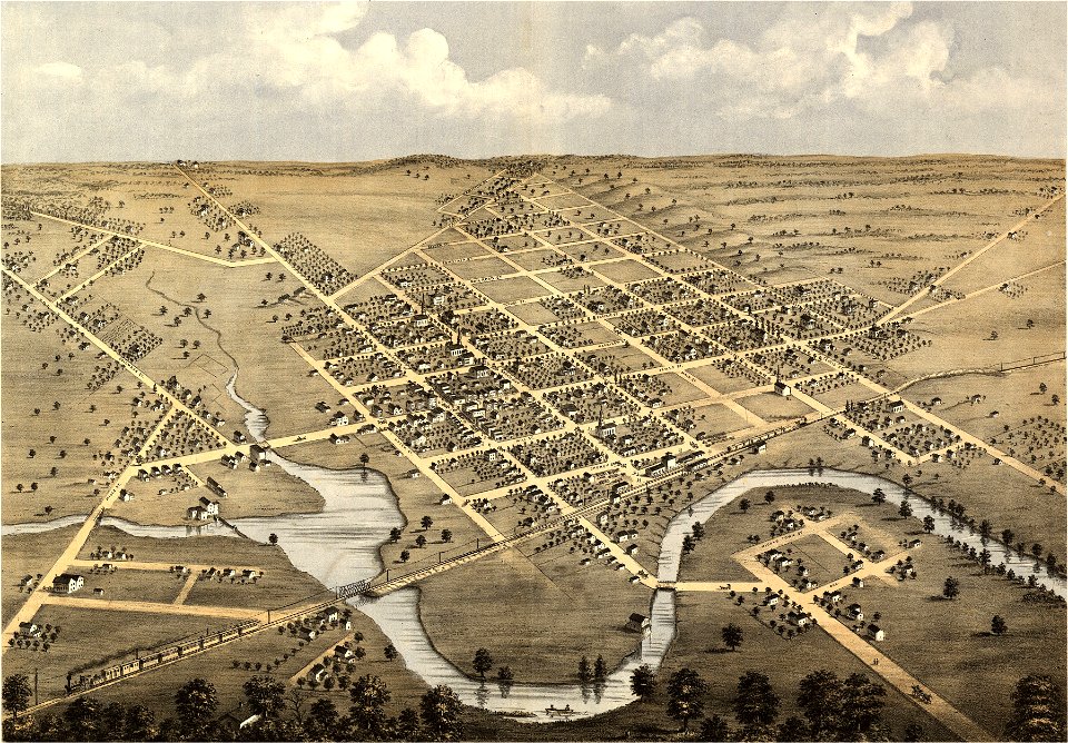
wisconsin
columbus
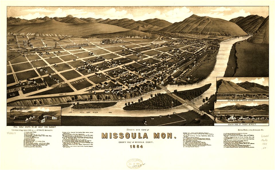
missouri
mexico
missoula
montana
wisconsin
columbus
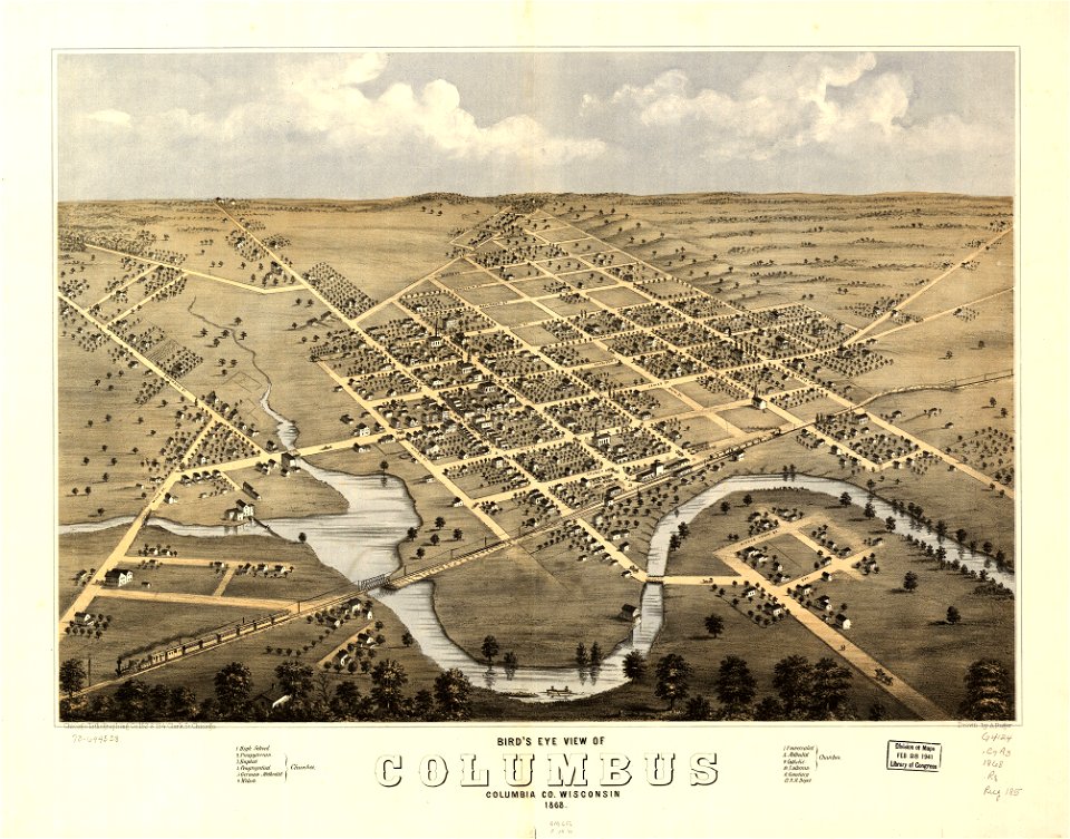
maps in the library of congress
1867 maps
3301 - 3400 of 38,207
Next page
/ 383